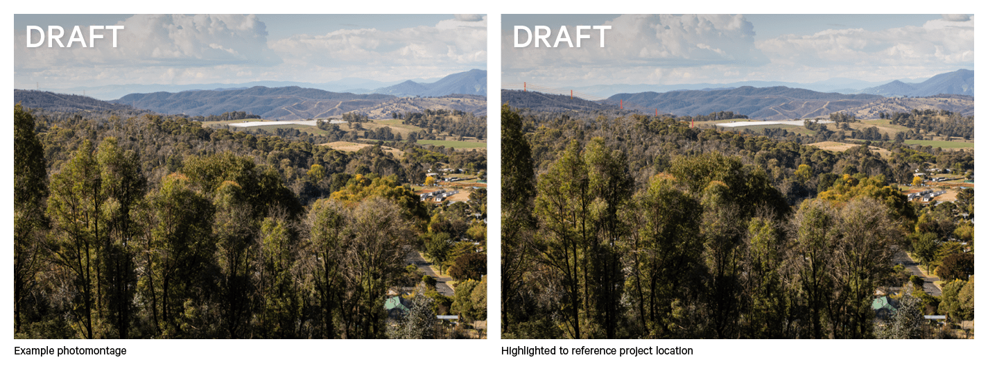
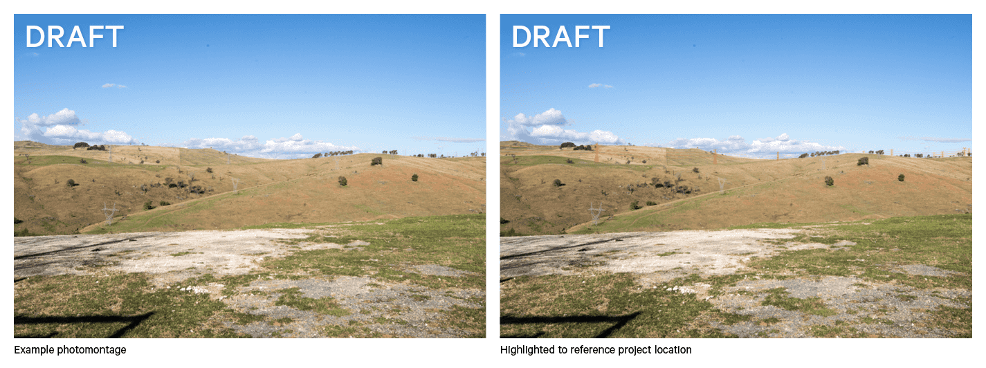
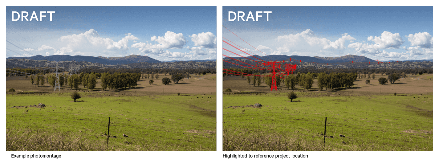
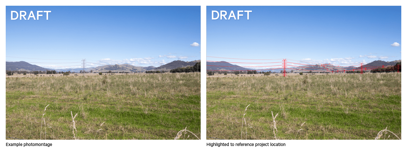
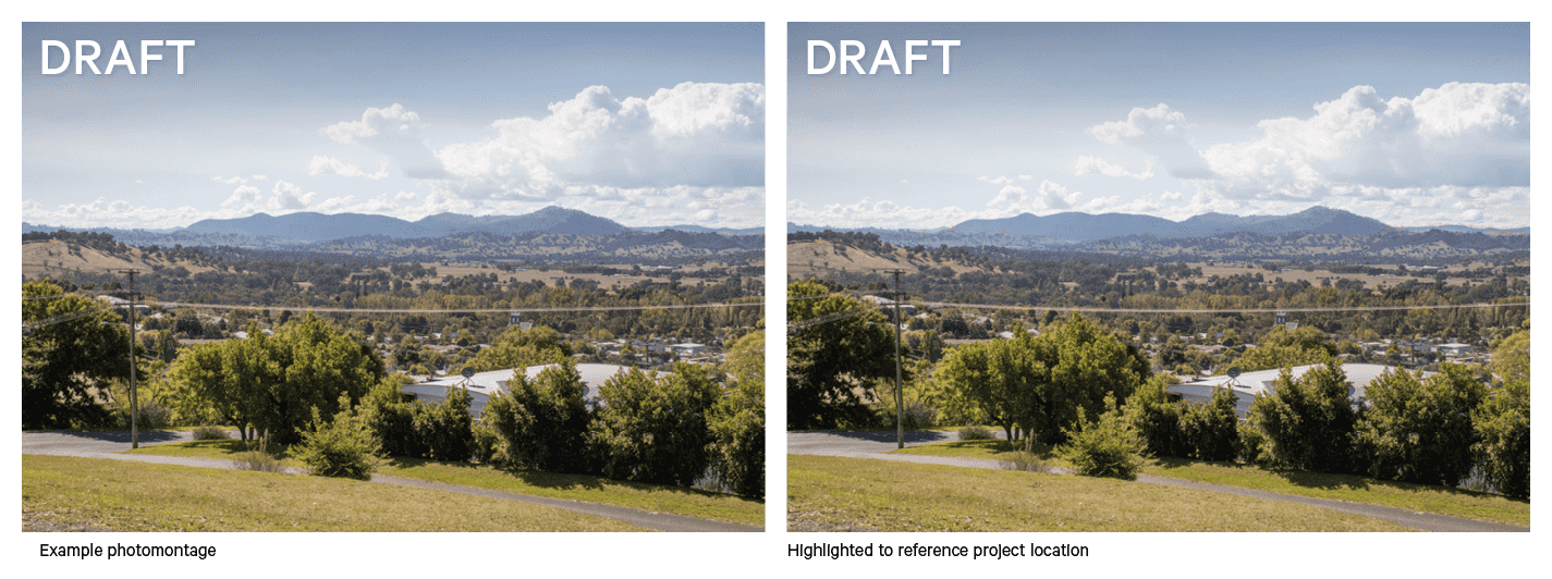
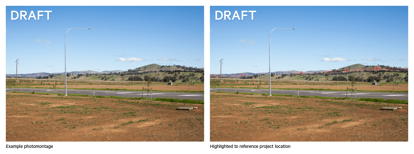
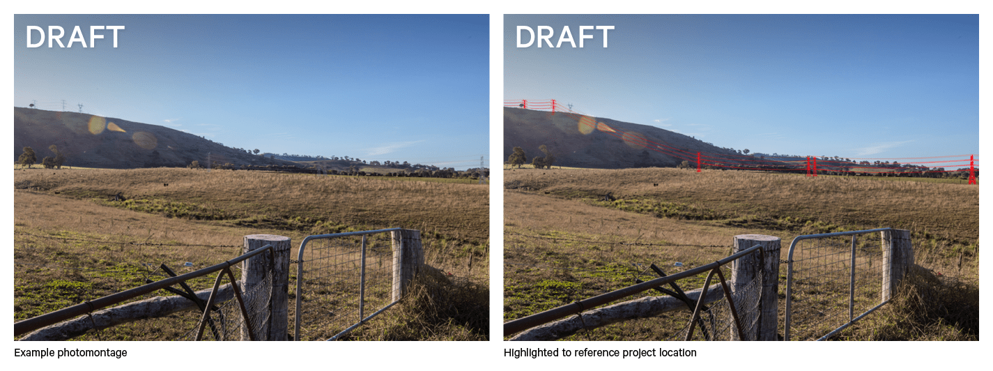
Photomontages are computer generated images that provide an example of what the project may look like when complete. The HumeLink project team creates them by overlaying a 3D model of the proposed transmission towers and lines onto photographs from the project footprint and surrounding areas.

Additional photomontages were created to support the Landscape Character and Visual Impact Assessment in the Environmental Impact Statement (EIS), using photographs taken at public viewpoints and private properties. These were available when the EIS was placed on public exhibition between 30 August and 10 October 2023. The photomontages below were not included in the EIS.

Please note, the photomontages are based on the concept design as at mid-2023 and are subject to change. Final tower locations will be determined during detailed design commencing in late 2023. 

View from Batlow Lookout

View from Batlow Lookout

View from Batlow Road

View from Batlow Road

View from Gocup Road

View from Gocup Road

View from Snowy Mountain Highway

View from Snowy Mountain Highway

View from Tumut Lookout

View from Tumut Lookout

View from Yass

View from Yass

View from Yaven Creek

View from Yaven Creek